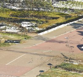
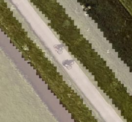
Hai Performance heeft in opdracht van ProRail het diepladerprofiel van bijna 1800 overwegen bepaald. Hiervoor zijn de door ProRail vanuit een helikopter ingewonnen puntenwolken gebruikt. In combinatie met een hoge graad van automatisering zijn de kosten […]
QGIS
ProRail stelt heel veel data als WMS en WFS dienst beschikbaar, wat ontzettend handig is voor iedereen die in GIS met spoorgerelateerde dingen bezig is. Daarom hier een overzicht van een aantal nuttige services en lagen […]
Volgens de BGT eisen zijn taluds BGT-inhoud bij een steilheid van 1:4 of meer en een hoogteverschil van minimaal 1m. Toch krijg ik de indruk dat dit maar zelden daadwerkelijk is doorgevoerd, ondanks dat met het […]
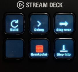
I’ve recently acquired an Elgato Stream Deck Mini after reading about it in German computer magazine C’t. For those who are not familiar with the Stream Deck, it’s essentially a programmable macro pad, but with the […]
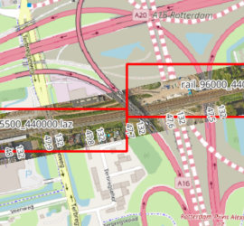
When you have many point cloud files that are not tiled, it can be tricky to find the one file that covers a certain geographic area. One way to deal with this is to construct the […]
ProRail gebruikt een tekstformaat genaamd KRDZ (wat volgens mij staat voor koördinatenbestand met Z) voor het uitwisselen van meetgegevens van het spoor. Meetbedrijven leveren metingen als KRDZ aan ProRail, en uit de ProRail applicatie Sigma kun […]
So you’ve digitized lines in QGIS into a shapefile, but want to save the vertices as ASCII file to do other stuff with them? This is not as straightforward as it might seem at first. The […]
I usually use CloudCompare as viewer for point clouds, as it is really easy to visualize different point attributes. But when vectorizing features from point clouds, I want to display them as linestrings, not individual vertices. […]
One of the advantages of QGIS is how well it integrates Python. There’s a Python console, but more importantly it is possible to expand QGIS with Python plugins. These come in two flavours: GUI plugins have […]

