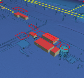
In my previous post I showed how to use Potree to create a web viewer for point clouds. But it doesn’t stop there, as Potree is also capable of displaying other geographic data. The Shapefiles example […]
Potree
2 berichten
Potree is the de-facto standard web viewer for point clouds. It can display huge point clouds by showing only the relevant parts of the cloud. It can display using all attributes of a LAS/LAZ file and […]


