I’ve recently acquired an Elgato Stream Deck Mini after reading about it in German computer magazine C’t. For those who are not familiar with the Stream Deck, it’s essentially a programmable macro pad, but with the […]
QGIS
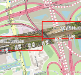
When you have many point cloud files that are not tiled, it can be tricky to find the one file that covers a certain geographic area. One way to deal with this is to construct the […]
So you’ve digitized lines in QGIS into a shapefile, but want to save the vertices as ASCII file to do other stuff with them? This is not as straightforward as it might seem at first. The […]
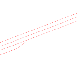
I usually use CloudCompare as viewer for point clouds, as it is really easy to visualize different point attributes. But when vectorizing features from point clouds, I want to display them as linestrings, not individual vertices. […]
One of the advantages of QGIS is how well it integrates Python. There’s a Python console, but more importantly it is possible to expand QGIS with Python plugins. These come in two flavours: GUI plugins have […]
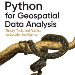
When I saw the announcement for this book on the O’Reilly website, I knew immediately that I had to get it. My programming background is in C/C++/C# and I’ve only been using Python for a year […]
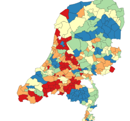
Since the beginning of Covid-19, I’ve from time to time downloaded the official Dutch Covid-19 statistics (available here) and created my own plots, using a Jupyter Python notebook that you can find over on Github. But […]
When I was looking for a simple way to publish GIS data on the web, a colleague suggested Leaflet. This is an easy to use Javascript library that is ideal for publishing e.g. the content of […]
One of the data types supported by QGIS are XYZ tiles, i.e. tiled image data in a Pseudo-Mercator projection. By default, QGIS only has OpenStreetMap as tile provider. To do so, you right click on XYZ […]

