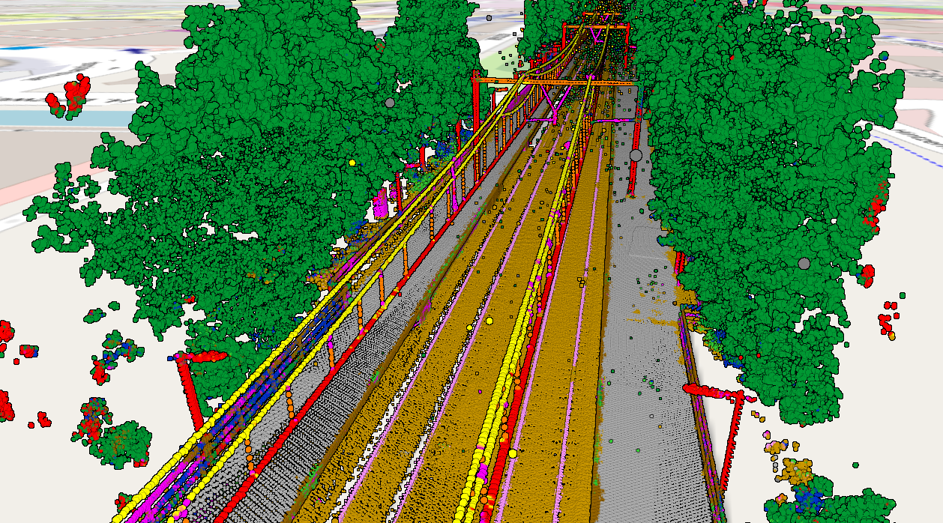
Laser scanning produces huge amounts of data. The challenge is to extract meaningful information from these point clouds in an efficient manner. The first step is classifying the point clouds.
There are different approaches to automatic point cloud classification. I’ve developed a point cloud classification software called HaiClass based on machine learning approach that takes manually or semi-automatically classified training data sets for training a classification model. This model is then used for classification of other data sets (inference).
The HaiClass approach
- provides good results
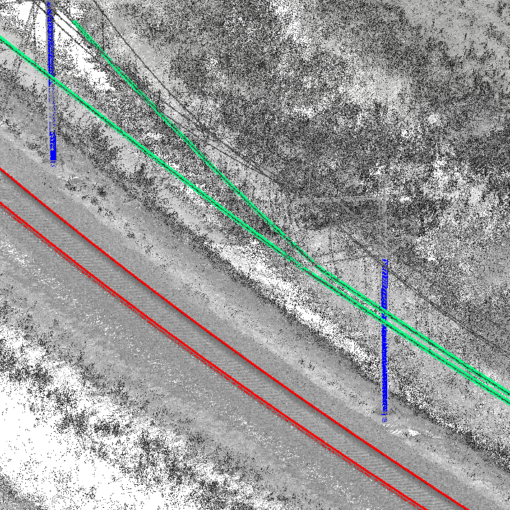
- is suitable for static, mobile, and airborne laserscanning point clouds
- is fast (written completely in C++)
- runs on the CPU (no need for expensive GPUs)
- can be run under both Linux and Windows, without complicated installation
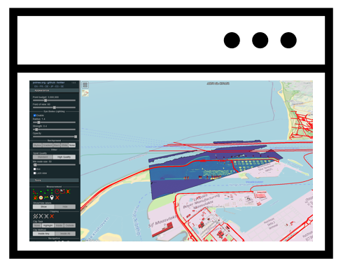
- is easy to use thanks to a Windows GUI
- uses LAS/LAZ as input and output format
I have created training data sets and classification models for mobile mapping on the road, static, mobile mapping, and airborne laserscanning of rail infrastructure, and general laser altimetry.
3 thoughts on “Point cloud classification”