I have many years of experience with Mobile Mapping and created various related software packages.
Trajectory analysis
Processing Mobile Mapping data starts with computing a good trajectory. I’ve written TTools to analyse trajectories in Inertial Explorer format. Some functionality is also available for Riegl trajectories, and Applanix SBET can be implemented if necessary. The main functions of TTools are
- conversion of binary to ASCII formats
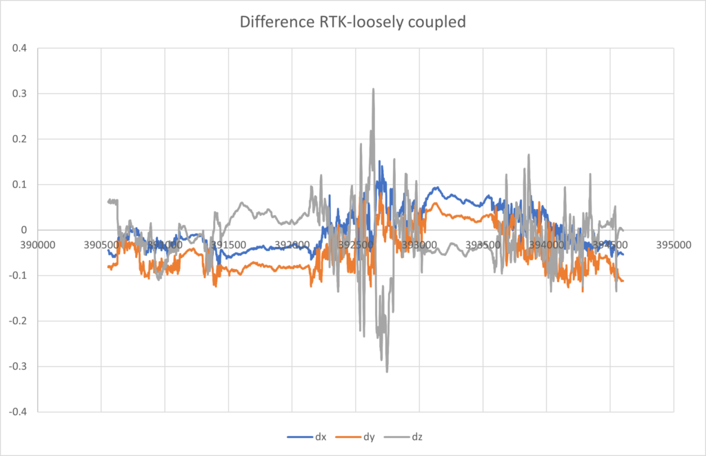
- comparing trajectories
- applying corrections to trajectories
- comparison to height grids and automatic construction of an optimal combined trajectory from forward/reverse computations
- conversion to TerraScan format and generation of correction tables from TerraScan trajectories
TTools are especially useful for companies that want to use Inertial Explorer together with TerraScan/TerraMatch, possibly in combination with Leica Pegasus Office.
Quality control
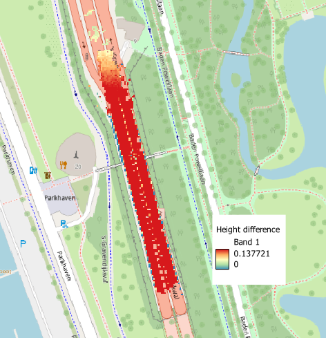
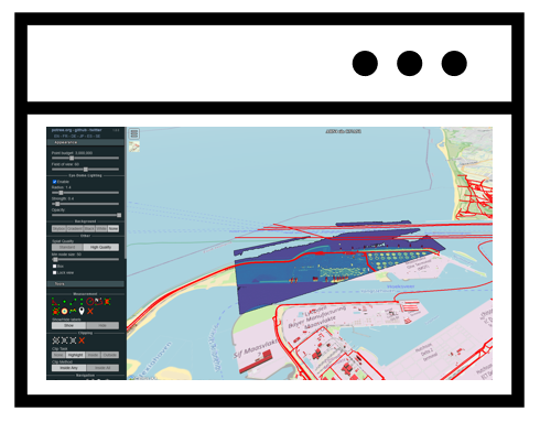
HaiQuality is a set of programs for checking the quality of overlapping point clouds. It computes differences between overlapping runs for analysis and visualization.
I’ve developed software for efficient processing of many Leica TRK/Pegasus Office projects. This includes checking all exports for completeness and correctness, and preparing the data for further processing.
Tiling and meshing
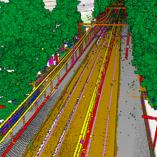
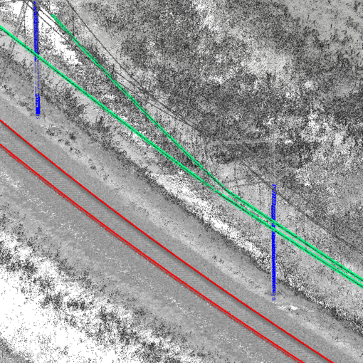
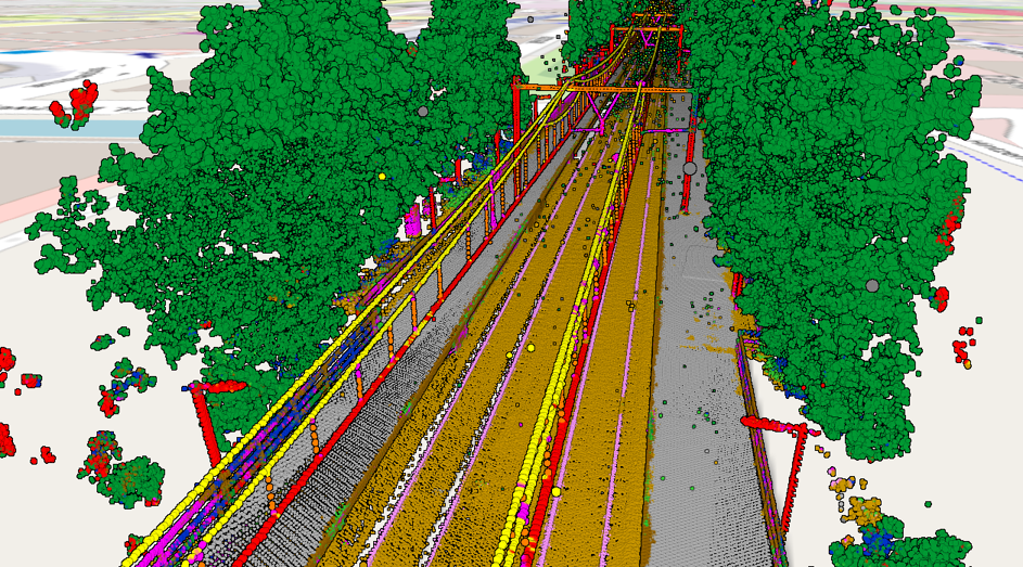
Mobile mapping data is usually organized in runs, called tracks by Leica and records by Riegl. This is often not the most convenient organization for further processing, where rectangular tiles are often preferred. I’ve written programs for tiling LAS/LAZ files and the images in E57 tiles. This makes it possible to mesh large projects with Leica Cyclone 3DR, for which I’ve written appropriate meshing scripts and a tool that makes it possible to run several instances of 3DR in parallel.