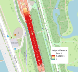
I have many years of experience with Mobile Mapping and created various related software packages. Trajectory analysis Processing Mobile Mapping data starts with computing a good trajectory. I’ve written TTools to analyse trajectories in Inertial Explorer […]
Daily archives: 21 October 2023
3 posts
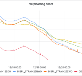
HaiPerMon is an application for geodetic and geotechnical monitoring. At its core sits InfluxDB, a modern database for time series data. This is filled with the measurements from the sensors at the monitoring location. In most […]
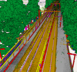
Laser scanning produces huge amounts of data. The challenge is to extract meaningful information from these point clouds in an efficient manner. The first step is classifying the point clouds. There are different approaches to automatic […]


