Virtualisation and Containerisation are an important part of today’s computing landscape. Containers offer several benefits compared to software running directly on an operating system: They are isolated environments, helping with issues like security and dependencies. Running […]
Python
I’ve previously written about parallelizing for loops in C/C++ and C#. This is possible in Python, too, and might even be more important than in the two other languages, as Python’s interpreted nature can make it […]
I started coding with Basic (on the Commodore 64, of course), but I consider myself mostly a C++ programmer. That’s the language I used throughout my time as university student and that I still use for […]
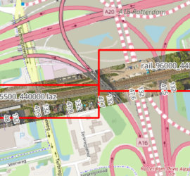
When you have many point cloud files that are not tiled, it can be tricky to find the one file that covers a certain geographic area. One way to deal with this is to construct the […]
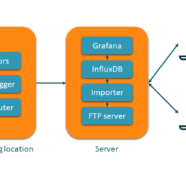
Geodetic and geotechnical monitoring is an important task within the field of surveying. It is often employed to monitor critical buildings and infrastructure during construction works. One of the highlights of my geodetic career was the […]
Meta AI Research has released Segment Anything, a model that can do automatic semantic segmentation of images without prior training for a specific application. The code, pre-trained models, and the training dataset are publicly available. After […]
One of the advantages of QGIS is how well it integrates Python. There’s a Python console, but more importantly it is possible to expand QGIS with Python plugins. These come in two flavours: GUI plugins have […]
When I saw the announcement for this book on the O’Reilly website, I knew immediately that I had to get it. My programming background is in C/C++/C# and I’ve only been using Python for a year […]
InfluxDB is a database for time series data, and I have recently been developing an application for geodetic and geotechnical monitoring around it. My input data is usually in text form. There are several ways to […]


