A customer of mine processes data in tiles of 50x50m size, then merges them into larger tiles of 1x1km size. I wrote a QGIS plugin to take care of all necessary steps, but there are cases […]
Blog
Innovatie is belangrijk, zo niet een noodzaak, voor veel bedrijven. Dat je innovatief bent als bedrijf is belangrijk, ook als een stukje reclame. Maar innovaties groeien niet aan een boom, en de kans dat de ideeën […]
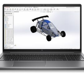
I had a feeling that my new HP laptop was not giving full performance, especially in multi-core applications. To check whether my feeling was correct, I ran several benchmarks, Cinebench R23 and Geekbench 6. I also […]
I recently ran into issues when using really large arrays in C++ for a dataset of several hundred million points. I have access to a computer with 512 GB of RAM, but even there the program […]
When it seemed like my laptop had died, I had to choose a new one quickly as I can’t really live without one, as I a) usually work at the dining table, and b) have to […]
A couple of days ago, my HP Omen 15 suddenly died. It was under heavy load at the time, training a random forest classifier while also having to load a session of Fall Guys. The screen […]
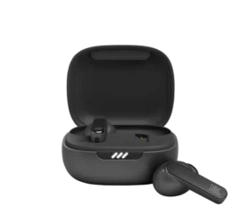
I’m not a big fan of wireless solutions to things that work well wired – that’s why I’ve run Ethernet cable throughout the house. I long resisted the desire to own a set of wireless earbuds […]
One of the advantages of QGIS is how well it integrates Python. There’s a Python console, but more importantly it is possible to expand QGIS with Python plugins. These come in two flavours: GUI plugins have […]
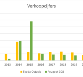
Wat is bijtelling? Als een werknemer voor zijn werkgever een auto beschikbaar gesteld krijgt, die hij of zij ook privé gebruikt (vanaf 500 km per jaar) , dan ziet de fiscus dit als een soort van […]

