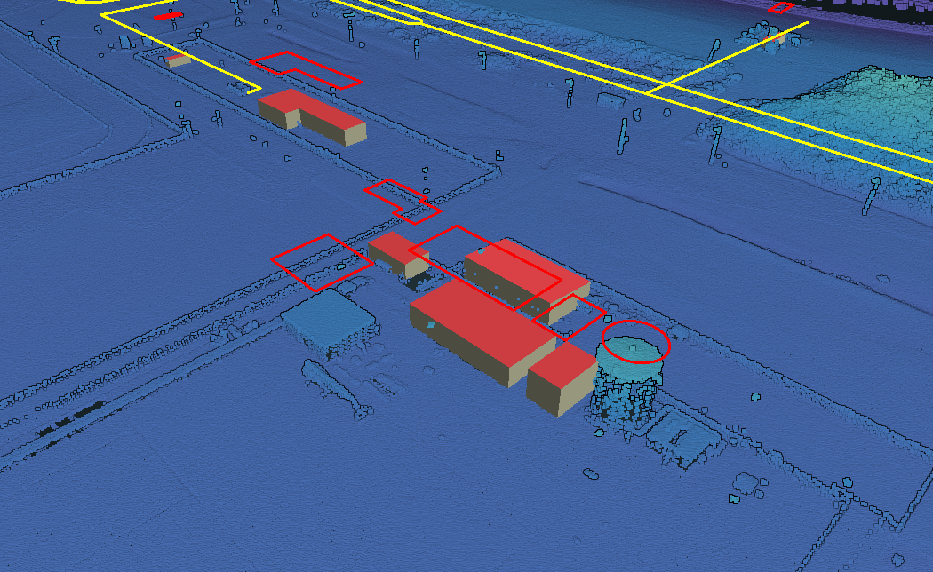
In my previous post I showed how to use Potree to create a web viewer for point clouds. But it doesn’t stop there, as Potree is also capable of displaying other geographic data. The Shapefiles example shows how to add a shapefile, which is really easy to do. In the example the shapefile is in a different coordinate system and hence has to have a projection assigned. If your shapefile in the same coordinate system as the point cloud, this is not necessary.
Potree is also capable of displaying 3D models on PLY and OBJ format. The Dutch 3D BAG data set is available in OBJ format with an associated MTL file. It took me a bit of fiddling, but I was able to also load and display this correctly. You can look at the source and view the result here.

